Residents to have access to detailed land data


The county looks to provide more information to the public by investing further in Light Detection and Ranging (LiDAR), the remote sensing method which uses laser light to measure distance and use that information to produce highly detailed three-dimensional models of the environment.
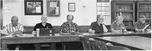
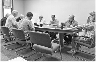
At the land information meeting on Monday, July 14, committee members voted unanimously to approve the purchase of add-ons for LiDAR which would not only capture more detail but also make it more accessible. Taylor County surveyor Justin Meyer reports that this update will contour elevation on the ground up to one foot and provide more accurate waterway mapping. He also stated this would drastically reduce the number of requests that his office receives for this information.
Currently, LiDAR in Taylor County has mapped streams 100 feet or wider and ponds two acres or larger, but with the add-ons available it may be able to map streams as wide as eight feet and ponds and waterbodies as small as one acre. Meyer states that the first round of LiDAR mapping was just to collect a base set of data.
“It doesn’t do anybody much good besides me, what we’re after is an online application that anybody can use,” he said.
Meyer went on to state that the purchase of add-ons to enhance the mapping features and give access to the public was in the land information three-year plan and is covered by grant-funding and carryover funds. The purchase price is $70,400 with the option for additional add-ons in the future.
Some of the information will be on Beacon, the website used to access property and parcel information, but in order to keep the website from lagging the majority of the data will be accessible through Ayres Associates, an engineering and geospatial services firm. The county hopes to have a separate link to Ayres available on the Beacon site. Chairperson Rod Adams asked, “Is this used a lot by Realtors?” Meyer stated that the information acquired by the application of LiDAR is used for real estate, engineering, utility, and highway/road projects among a variety of other uses.
Committee member Darrell Thompson questioned Meyer on the cost of upkeep with Meyer stating that maintenance to the site will cost $3,000 a year through Ayres with a $10,000 initial startup fee.
The next meeting will be held on Monday, September 8 at 9 a.m.
In other business, the board:
• Voted to approve eight new computers for Meyer and the department. He stated that though they are due for upgrades every five years, they haven’t done so in eight years. The cost is estimated at $7,740.
• Heard that Meyer has been requested to do survey work by some municipalities. Meyer reported that he was willing to do so as his work schedule allowed it but if multiple entities came forward for surveys he may be unable to accommodate. Meyer reported concern over appearing to favor one municipality over the other because of his time constraints.
“I think if you open that door for one, you’re going to have each and every one calling you for something,” said Thompson.
In order to be fair to all and to maintain Meyer’s work schedule, the committee voted that he will not be allowed to survey for the municipalities.
In addition, Meyer requested that the committee allow him to conduct surveys for his close friends and family, stating that he would not collect money in these situations. “I don’t want it to be a conflict of interest for myself,” he said.
Committee member Catherine Lemke reported that she is aware the surveyor in Price County conducts surveys outside of the county’s scope without conflict. The committee voted unanimously to allow him to do so unpaid.
• Agreed to a change in chapter 17 real estate code which would allow the previous owner of a property acquired In Rem to return and purchase the property, though the county would still conduct a title search with the prior owner responsible for any liens before taking back the property.


